What Is Surveying?
Surveying is defined as a method of determining the relative position of the points on, above, or below the earth’s surface by taking direct or indirect measurements of distance, direction, and elevation.
Two types of measurements are taken in surveying:
Linear measurements
angular measurements.
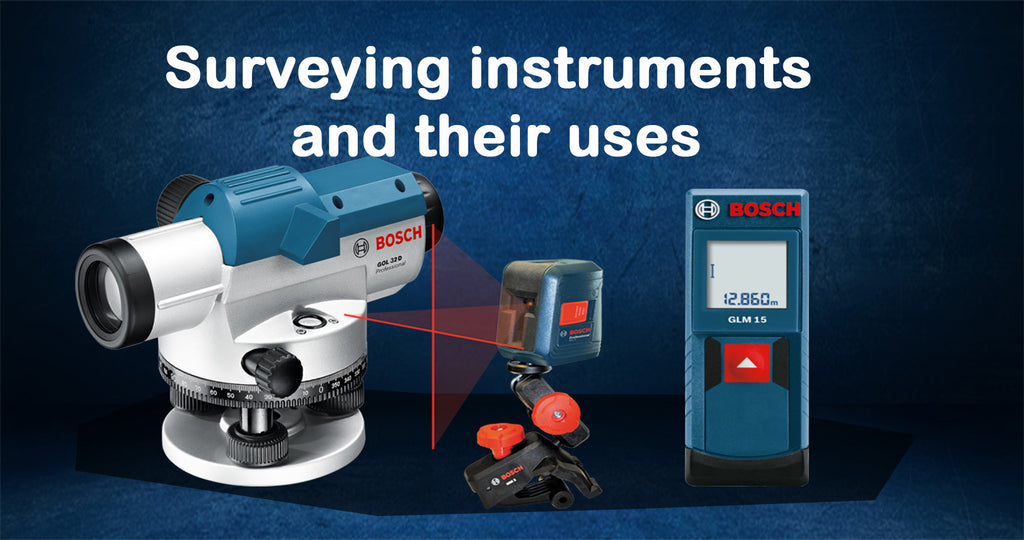
There are different types of surveying equipment used in civil engineering such as Chain, Theodolite, dumpy level, cross–staff, plane table, ranging road, measuring tapes, etc.
Importance of Surveying
- Planning and design of all civil engineering projects require measurements from surveying.
- Execution of work needs surveying too for transferring the points onto the ground.
- Fixing of state and national boundaries also required measurements obtained from surveying.
- Control points can be established with the help of surveying.
- Hydrographical and oceanographic charting and mapping are facilitated by surveying.
- A topographic map of the land surface can be prepared with the help of surveying.
-
Theodolite: A surveying instrument with a rotating telescope for measuring horizontal and vertical angles to make precise measurements of areas and triangulate the position of objects in a specific area2. - Measuring tape: A length of tape or thin flexible metal, marked at intervals for measuring size or distance. Surveyors commonly use tape measures (known as measuring wheels) in lengths of over 100 meters3.
- Total station: A theodolite that uses electronics to calculate angles and distances and contains an on-board computer to collect data and perform triangulation calculations. This tool is used to record features in topographic surveying or to set out features (roads, houses, or boundaries)4.
- 3D scanners: A surveying instrument that can accurately measure and collect data from objects, surfaces, buildings, and landscapes. This tool collects information in the form of point cloud data, which consists of millions of 3D coordinates. These coordinates can be used to create 3D computer-aided design (CAD) models, which can then help analyze topographic features and structures. The high accuracy of 3D scanners helps reduce project costs5.
- GPS/GNSS: The use of Global Positioning System signals and/or Global Navigation Satellite System signals via a receiver and antenna to determine the form, boundary, position, objects, or points in space relative to other forms, boundaries, or points. This technology has dramatically increased the speed and productivity of surveyors using on-demand centimeter-level accuracy provided by Real-Time Kinematic (RTK) positioning6.
- Level and rod: A graduated wooden or aluminum rod, used with a levelling instrument to determine the difference in height between points or heights of points above a vertical datum7. This tool is used to establish and verify elevations.
For more information or purchase contact us at gibadi.com limited


